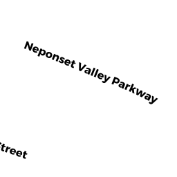
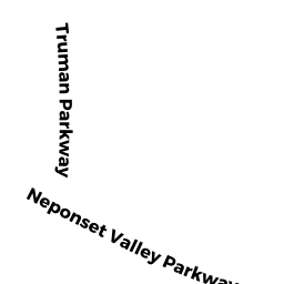
269 NEPONSET VALLEY PW
Owner Information
MCGLOTHIN HENRY
269 NEPONSET VALLEY PKWY
HYDE PARK, MA 02136


Property Details
269 NEPONSET VALLEY PW is classified as a Single Family Residential (Ranch).
The primary structure on this property was built in 1984. There is 912ft2 of residential/living space within this property. This property is listed as having 5 rooms.
269 NEPONSET VALLEY PW is valued at $310,300. The land is valued at $179,100 and the structures are valued at $131,200.
The most recent deed for 269 NEPONSET VALLEY PW is recorded at the local registrar in Book 44773, Page 068. 269 NEPONSET VALLEY PW was last sold on Tuesday, April 7, 2009 for $230,000.
Assessment data from fiscal year 2020.
Flood Data
According to the FEMA National Flood Hazard Layer, this property does not appear to be in a flood zone. It may also be in an area not yet reviewed. Nonetheless, confirm this information prior to taking any action.
To view the flood hazards around this property, create a FEMA "Firmette" Map of the area around 269 NEPONSET VALLEY PW.
Broadband Internet Providers
| Provider | Type | Bandwidth (mbps) | |
|---|---|---|---|
| Comcast | Cable | 1000 | 35 |
| RCN | Cable | 1000 | 20 |
| Verizon New England Inc. | DSL | 5 | 0 |
| PAETEC Communications, Inc | DSL | 0 | 0 |
| PAETEC Communications, Inc | Fiber | 0 | 0 |
| Viasat Inc | Satellite | 100 | 3 |
| RCN | Cable | 500 | 20 |
| VSAT Systems, LLC. | Satellite | 2 | 1 |
| Verizon New England Inc. | Fiber | 940 | 880 |
| HughesNet | Satellite | 25 | 3 |
| GCI Communication Corp. | Satellite | 0 | 0 |
Broadband service provider data from December 2020.
Adjacent Properties
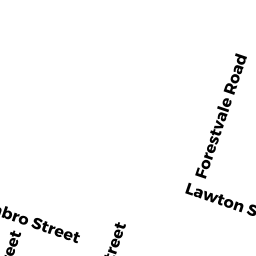
- 9 LAWTON TE
Single Family Residential owned by LINSKEY CATHERINE M - 15 LAWTON TE
Two-Family Residential owned by WHITE JOSEPHINE WULK - 273 NEPONSET VALLEY PW
Single Family Residential owned by LIX JACQUELINE D - 265 NEPONSET VALLEY PW
Single Family Residential owned by TEJEDA JESUS - NEPONSET VALLEY PW
Undevelopable Residential Land owned by KENNETH D HUGHEY IRREVOCABLE TRUST - LAWTON ST
Undevelopable Residential Land owned by ZEOGAS MICHAEL C - 36 LAWTON ST
Single Family Residential owned by ZEOGAS MICHAEL C - 1 LAWTON TE
Single Family Residential owned by PATEL AKSHAYKUMAR B - 5 LAWTON TE
Single Family Residential owned by VIOLA GERARD